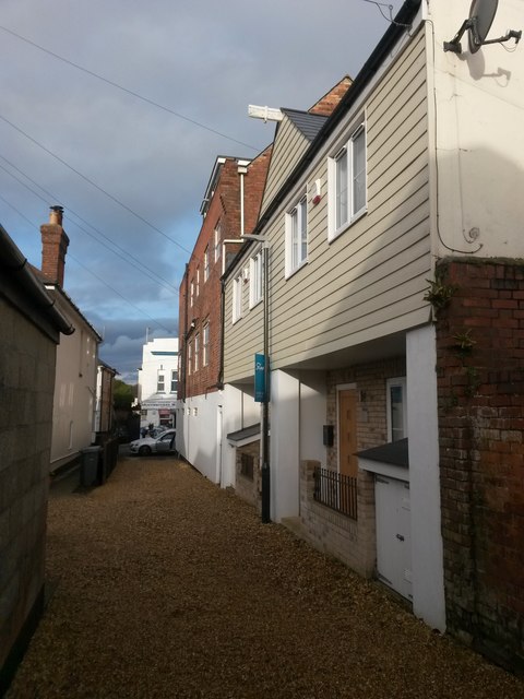
Pokesdown: Laurel and Hardy Cottages
Introduction
The photograph on this page of Pokesdown: Laurel and Hardy Cottages by Chris Downer as part of the Geograph project.
The Geograph project started in 2005 with the aim of publishing, organising and preserving representative images for every square kilometre of Great Britain, Ireland and the Isle of Man.
There are currently over 7.5m images from over 14,400 individuals and you can help contribute to the project by visiting https://www.geograph.org.uk

Image: © Chris Downer Taken: 6 Mar 2017
These two houses are midway along a driveway which forms public footpath G10 between Seabourne Road (behind us) and Deans Road (ahead). Hardy Cottage is nearer us and Laurel Cottage beyond. The lane has been named Parkwood Lane in fairly recent years, presumably as a result of the cottages needing a postal address: they are both numbered 11 Parkwood Lane and they are the only two addresses on the lane. To the left, opposite the cottages, is another driveway and public footpath, forming a T-shaped rear driveway with the one we're on. See: Image for the view from the end of the path behind us; Image for the view towards us from the far end; and Image for the view along the lane to the left.

