Conversion to flats, Northgate Street, Warwick
Introduction
The photograph on this page of Conversion to flats, Northgate Street, Warwick by Robin Stott as part of the Geograph project.
The Geograph project started in 2005 with the aim of publishing, organising and preserving representative images for every square kilometre of Great Britain, Ireland and the Isle of Man.

There are currently over 7.5m images from over 14,400 individuals and you can help contribute to the project by visiting https://www.geograph.org.uk
Conversion to flats, Northgate Street, Warwick
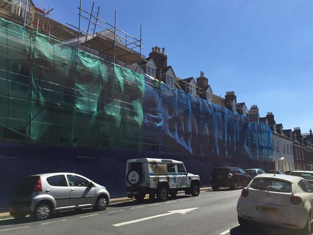
Image: © Robin Stott Taken: 12 Aug 2016
A range of eighteenth-century brick houses formerly occupied by the Education Department of Warwickshire County Council. This view is 14 months on from this: Image Compare John Sutton's Image from 2014.
Images are licensed for reuse under creativecommons.org/licenses/by-sa/2.0
Image Location


Leaflet Map data © OpenStreetMap
Latitude
52.282876
Longitude
-1.588779