Queen's Park Boating Pond
Introduction
The photograph on this page of Queen's Park Boating Pond by Richard Sutcliffe as part of the Geograph project.
The Geograph project started in 2005 with the aim of publishing, organising and preserving representative images for every square kilometre of Great Britain, Ireland and the Isle of Man.

There are currently over 7.5m images from over 14,400 individuals and you can help contribute to the project by visiting https://www.geograph.org.uk
Queen's Park Boating Pond
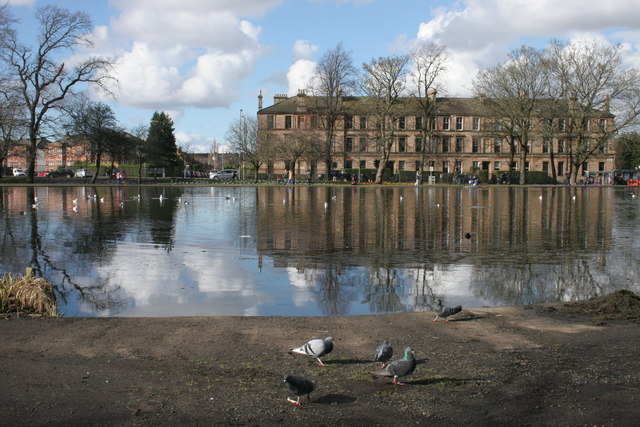
Image: © Richard Sutcliffe Taken: 5 Mar 2017
Looking across to tenements on Pollokshaws Road.
Images are licensed for reuse under creativecommons.org/licenses/by-sa/2.0
Image Location
Latitude
55.83378
Longitude
-4.273768