Ruined building, Nithsdale Street
Introduction
The photograph on this page of Ruined building, Nithsdale Street by Richard Sutcliffe as part of the Geograph project.
The Geograph project started in 2005 with the aim of publishing, organising and preserving representative images for every square kilometre of Great Britain, Ireland and the Isle of Man.

There are currently over 7.5m images from over 14,400 individuals and you can help contribute to the project by visiting https://www.geograph.org.uk
Ruined building, Nithsdale Street
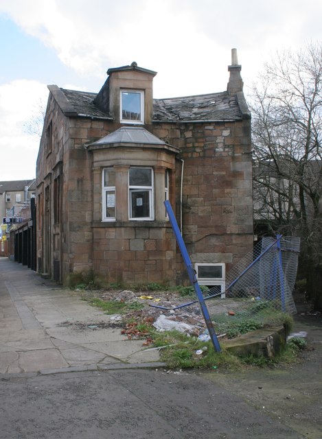
Image: © Richard Sutcliffe Taken: 5 Mar 2017
Despite the fact the windows are still intact on this side, the roof is partly missing on the other side, and the interior of the building has been completely gutted.
Images are licensed for reuse under creativecommons.org/licenses/by-sa/2.0
Image Location
Latitude
55.837152
Longitude
-4.27125