West Howe: footpaths meet at the dead end of April Close
Introduction
The photograph on this page of West Howe: footpaths meet at the dead end of April Close by Chris Downer as part of the Geograph project.
The Geograph project started in 2005 with the aim of publishing, organising and preserving representative images for every square kilometre of Great Britain, Ireland and the Isle of Man.

There are currently over 7.5m images from over 14,400 individuals and you can help contribute to the project by visiting https://www.geograph.org.uk
West Howe: footpaths meet at the dead end of April Close
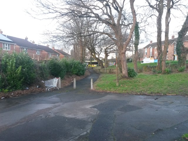
Image: © Chris Downer Taken: 6 Mar 2017
Looking across the dead end of this minor cul-de-sac. Opposite, public footpath U29 heads along to Moore Avenue near its western end, while another public footpath, number U28, heads left (onto Poole Lane) and right, coming out further along Moore Avenue. Moore Avenue is the road seen in the background, at the far edge of the grass slope. See Image for the view towards us on path U29 ahead, and Image for the view right-to-left on path U28. Each has links to further photos on the paths.
Images are licensed for reuse under creativecommons.org/licenses/by-sa/2.0
Image Location
Latitude
50.762029
Longitude
-1.912326