West Howe: footpath U28 comes out on Poole Lane
Introduction
The photograph on this page of West Howe: footpath U28 comes out on Poole Lane by Chris Downer as part of the Geograph project.
The Geograph project started in 2005 with the aim of publishing, organising and preserving representative images for every square kilometre of Great Britain, Ireland and the Isle of Man.

There are currently over 7.5m images from over 14,400 individuals and you can help contribute to the project by visiting https://www.geograph.org.uk
West Howe: footpath U28 comes out on Poole Lane
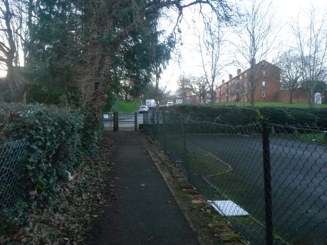
Image: © Chris Downer Taken: 6 Mar 2017
This public footpath, essentially a corner-cutting route from Moore Avenue, emerges onto Poole Lane opposite the Holloway Avenue turning. See Image for the view towards us from the pavement ahead, and Image for the next view behind us.
Images are licensed for reuse under creativecommons.org/licenses/by-sa/2.0
Image Location
Latitude
50.762209
Longitude
-1.912751