West Howe: looking down onto footpath U28
Introduction
The photograph on this page of West Howe: looking down onto footpath U28 by Chris Downer as part of the Geograph project.
The Geograph project started in 2005 with the aim of publishing, organising and preserving representative images for every square kilometre of Great Britain, Ireland and the Isle of Man.

There are currently over 7.5m images from over 14,400 individuals and you can help contribute to the project by visiting https://www.geograph.org.uk
West Howe: looking down onto footpath U28
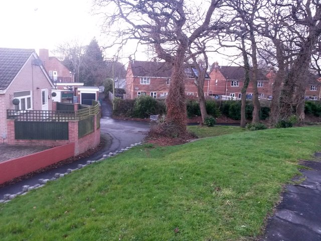
Image: © Chris Downer Taken: 6 Mar 2017
We stand on the pavement of Moore Avenue and look down the grassy slope onto the public footpath cutting the corner off. The path passes the dead end of April Close (opposite the abandoned shopping trolley) and continues through the alley onto Poole Lane. See Image for the view on the path, upward to our left, and Image for the view across the end of April Close. Another footpath, number N29, heads right from alongside the shopping trolley: see Image
Images are licensed for reuse under creativecommons.org/licenses/by-sa/2.0
Image Location
Latitude
50.762029
Longitude
-1.912184