Gin Hall, Walmersley Road, Bury
Introduction
The photograph on this page of Gin Hall, Walmersley Road, Bury by Alexander P Kapp as part of the Geograph project.
The Geograph project started in 2005 with the aim of publishing, organising and preserving representative images for every square kilometre of Great Britain, Ireland and the Isle of Man.

There are currently over 7.5m images from over 14,400 individuals and you can help contribute to the project by visiting https://www.geograph.org.uk
Gin Hall, Walmersley Road, Bury
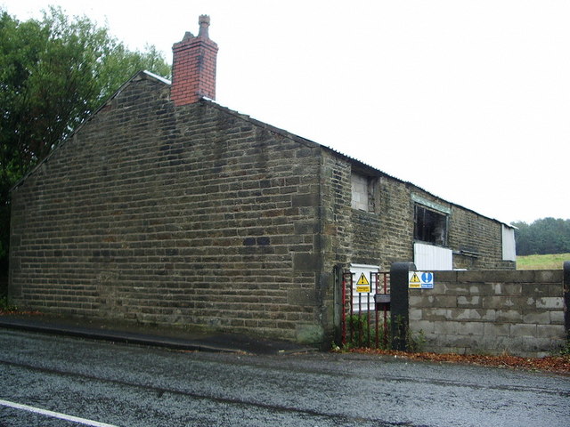
Image: © Alexander P Kapp Taken: 13 Aug 2007
Looking at the signs it's not a safe place to go wandering around
Images are licensed for reuse under creativecommons.org/licenses/by-sa/2.0
Image Location


Leaflet Map data © OpenStreetMap
Latitude
53.624146
Longitude
-2.297208