Nithsdale Road
Introduction
The photograph on this page of Nithsdale Road by Richard Sutcliffe as part of the Geograph project.
The Geograph project started in 2005 with the aim of publishing, organising and preserving representative images for every square kilometre of Great Britain, Ireland and the Isle of Man.

There are currently over 7.5m images from over 14,400 individuals and you can help contribute to the project by visiting https://www.geograph.org.uk
Nithsdale Road
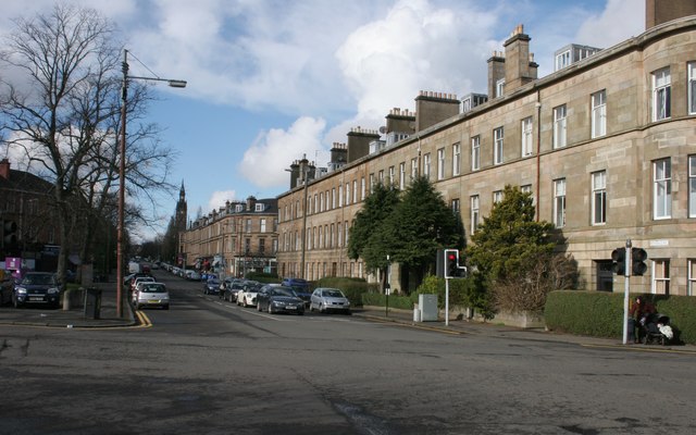
Image: © Richard Sutcliffe Taken: 5 Mar 2017
A row of Category B listed tenements on Nithsdale Road. The tower of the former Pollokshields West Church (also Category B listed) can be seen in the distance.
Images are licensed for reuse under creativecommons.org/licenses/by-sa/2.0
Image Location
Latitude
55.838443
Longitude
-4.274359