Throop: the original and modern-day Chesildene Drives diverge
Introduction
The photograph on this page of Throop: the original and modern-day Chesildene Drives diverge by Chris Downer as part of the Geograph project.
The Geograph project started in 2005 with the aim of publishing, organising and preserving representative images for every square kilometre of Great Britain, Ireland and the Isle of Man.

There are currently over 7.5m images from over 14,400 individuals and you can help contribute to the project by visiting https://www.geograph.org.uk
Throop: the original and modern-day Chesildene Drives diverge
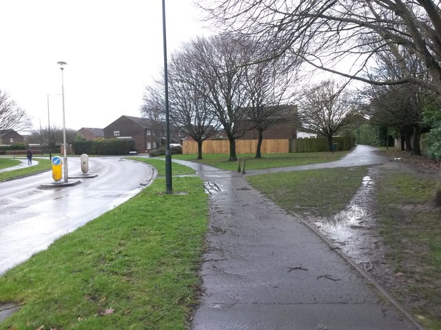
Image: © Chris Downer Taken: 5 Mar 2017
The straight path ahead of us, continuing also behind us, was one of the original tracks when Throop was a rural area. In the 1980s the vast housing estate was built and this first stretch of Chesildene Drive was borrowed, but it then swings around to the north while still carrying the name. The path is still designated as a public right of way - a byway open to all traffic (or B.O.A.T.), from the start just ahead of us to the (also truncated) far end on Chesildene Avenue. See Image for the view towards us from by the fence (and thus behind us along the continuing road), with links to further photos along the path.
Images are licensed for reuse under creativecommons.org/licenses/by-sa/2.0
Image Location
Latitude
50.755854
Longitude
-1.852371