Island between Worcester Street, Heath Lane and Mary Stevens Park
Introduction
The photograph on this page of Island between Worcester Street, Heath Lane and Mary Stevens Park by Stephen Rogerson as part of the Geograph project.
The Geograph project started in 2005 with the aim of publishing, organising and preserving representative images for every square kilometre of Great Britain, Ireland and the Isle of Man.

There are currently over 7.5m images from over 14,400 individuals and you can help contribute to the project by visiting https://www.geograph.org.uk
Island between Worcester Street, Heath Lane and Mary Stevens Park
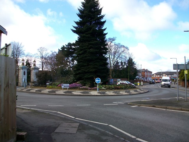
Image: © Stephen Rogerson Taken: 2 Mar 2017
Images are licensed for reuse under creativecommons.org/licenses/by-sa/2.0
Image Location


Leaflet Map data © OpenStreetMap
Latitude
52.450442
Longitude
-2.150777