Upper Wood Farm, Standish Wood Lane
Introduction
The photograph on this page of Upper Wood Farm, Standish Wood Lane by Gary Rogers as part of the Geograph project.
The Geograph project started in 2005 with the aim of publishing, organising and preserving representative images for every square kilometre of Great Britain, Ireland and the Isle of Man.

There are currently over 7.5m images from over 14,400 individuals and you can help contribute to the project by visiting https://www.geograph.org.uk
Upper Wood Farm, Standish Wood Lane
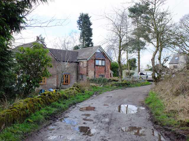
Image: © Gary Rogers Taken: 4 Mar 2017
At the time the picture was taken the owner was clearing up some branches that had fallen during Storm Doris.
Images are licensed for reuse under creativecommons.org/licenses/by-sa/2.0
Image Location
Latitude
53.571005
Longitude
-2.66106