Taw valley east of Portsmouth Arms
Introduction
The photograph on this page of Taw valley east of Portsmouth Arms by Derek Harper as part of the Geograph project.
The Geograph project started in 2005 with the aim of publishing, organising and preserving representative images for every square kilometre of Great Britain, Ireland and the Isle of Man.

There are currently over 7.5m images from over 14,400 individuals and you can help contribute to the project by visiting https://www.geograph.org.uk
Taw valley east of Portsmouth Arms
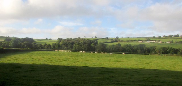
Image: © Derek Harper Taken: 27 Sep 2016
From a train on the railway line between Portsmouth Arms and King's Nympton. Cattle graze on the flood plain. Across the river on the right is Farr's Farm, in Image
Images are licensed for reuse under creativecommons.org/licenses/by-sa/2.0
Image Location
Latitude
50.961457
Longitude
-3.942222