Noran Water
Introduction
The photograph on this page of Noran Water by Anne Burgess as part of the Geograph project.
The Geograph project started in 2005 with the aim of publishing, organising and preserving representative images for every square kilometre of Great Britain, Ireland and the Isle of Man.

There are currently over 7.5m images from over 14,400 individuals and you can help contribute to the project by visiting https://www.geograph.org.uk
Noran Water
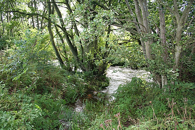
Image: © Anne Burgess Taken: 12 Aug 2007
It's quite hard to get a good view of this small river, as its banks are thickly overgrown, but this is a glimpse of it in spate after recent heavy rain.
Images are licensed for reuse under creativecommons.org/licenses/by-sa/2.0
Image Location


Leaflet Map data © OpenStreetMap
Latitude
56.721027
Longitude
-2.782461