Falls
Introduction
The photograph on this page of Falls by Phil Child as part of the Geograph project.
The Geograph project started in 2005 with the aim of publishing, organising and preserving representative images for every square kilometre of Great Britain, Ireland and the Isle of Man.

There are currently over 7.5m images from over 14,400 individuals and you can help contribute to the project by visiting https://www.geograph.org.uk
Falls
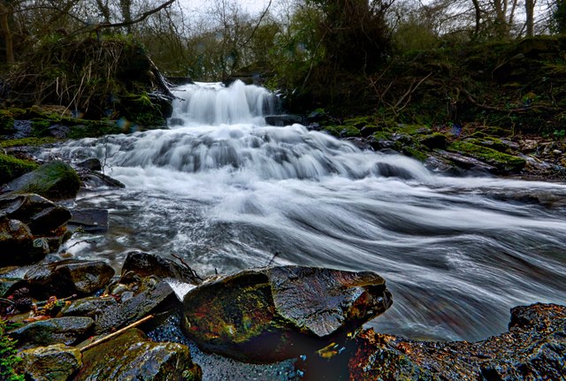
Image: © Phil Child Taken: 25 Feb 2017
There are a number of streams that merge and run towards the River Severn in Buildwas. This is an overflow outlet.
Images are licensed for reuse under creativecommons.org/licenses/by-sa/2.0
Image Location


Leaflet Map data © OpenStreetMap
Latitude
52.628671
Longitude
-2.536253