Buildings behind the Star & Garter
Introduction
The photograph on this page of Buildings behind the Star & Garter by John M as part of the Geograph project.
The Geograph project started in 2005 with the aim of publishing, organising and preserving representative images for every square kilometre of Great Britain, Ireland and the Isle of Man.

There are currently over 7.5m images from over 14,400 individuals and you can help contribute to the project by visiting https://www.geograph.org.uk
Buildings behind the Star & Garter
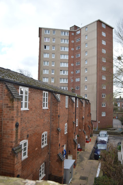
Image: © John M Taken: 4 Mar 2017
Surprising level difference between pavement level in front of the pub and the buildings behind.
Images are licensed for reuse under creativecommons.org/licenses/by-sa/2.0
Image Location


Leaflet Map data © OpenStreetMap
Latitude
52.291606
Longitude
-1.542367