Bournemouth: footpath D10 from Christchurch Road
Introduction
The photograph on this page of Bournemouth: footpath D10 from Christchurch Road by Chris Downer as part of the Geograph project.
The Geograph project started in 2005 with the aim of publishing, organising and preserving representative images for every square kilometre of Great Britain, Ireland and the Isle of Man.

There are currently over 7.5m images from over 14,400 individuals and you can help contribute to the project by visiting https://www.geograph.org.uk
Bournemouth: footpath D10 from Christchurch Road
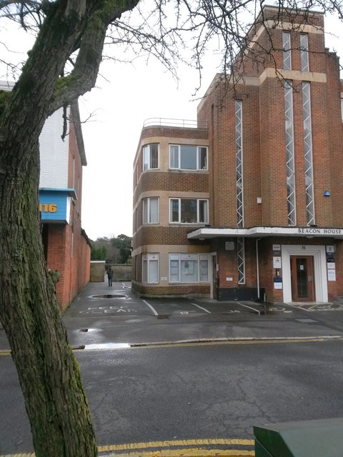
Image: © Chris Downer Taken: 4 Mar 2017
Looking across the service road of Christchurch Road (the main carriageway is parallel just behind us) along the driveway of Beacon House, which also forms a public footpath, through the arch ahead to Weston Drive. See Image for the next photo along the path, and Image for a complete view of Beacon House.
Images are licensed for reuse under creativecommons.org/licenses/by-sa/2.0
Image Location
Latitude
50.722054
Longitude
-1.862535