The Byker Wall
Introduction
The photograph on this page of The Byker Wall by Christine Westerback as part of the Geograph project.
The Geograph project started in 2005 with the aim of publishing, organising and preserving representative images for every square kilometre of Great Britain, Ireland and the Isle of Man.

There are currently over 7.5m images from over 14,400 individuals and you can help contribute to the project by visiting https://www.geograph.org.uk
The Byker Wall
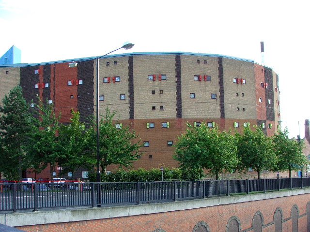
Image: © Christine Westerback Taken: 13 Aug 2005
Hailed as a marvel of design, the Byker Wall was completed in 1976. Communities had their old homes demolished and were moved back into their new environment but they never recovered the community spirit they once had. The Byker Wall is now a listed building.
Images are licensed for reuse under creativecommons.org/licenses/by-sa/2.0
Image Location


Leaflet Map data © OpenStreetMap
Latitude
54.97436
Longitude
-1.571918