Harton House Road, looking south-east
Introduction
The photograph on this page of Harton House Road, looking south-east by Christine Johnstone as part of the Geograph project.
The Geograph project started in 2005 with the aim of publishing, organising and preserving representative images for every square kilometre of Great Britain, Ireland and the Isle of Man.

There are currently over 7.5m images from over 14,400 individuals and you can help contribute to the project by visiting https://www.geograph.org.uk
Harton House Road, looking south-east
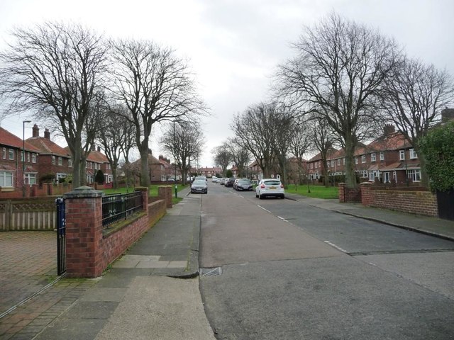
Image: © Christine Johnstone Taken: 25 Feb 2017
Blocks of houses are set back from the road, to provide grassy open spaces.
Images are licensed for reuse under creativecommons.org/licenses/by-sa/2.0
Image Location
Latitude
54.980985
Longitude
-1.414972