Flooded lane between Peaslands and Littlebeck
Introduction
The photograph on this page of Flooded lane between Peaslands and Littlebeck by Christine Johnstone as part of the Geograph project.
The Geograph project started in 2005 with the aim of publishing, organising and preserving representative images for every square kilometre of Great Britain, Ireland and the Isle of Man.

There are currently over 7.5m images from over 14,400 individuals and you can help contribute to the project by visiting https://www.geograph.org.uk
Flooded lane between Peaslands and Littlebeck
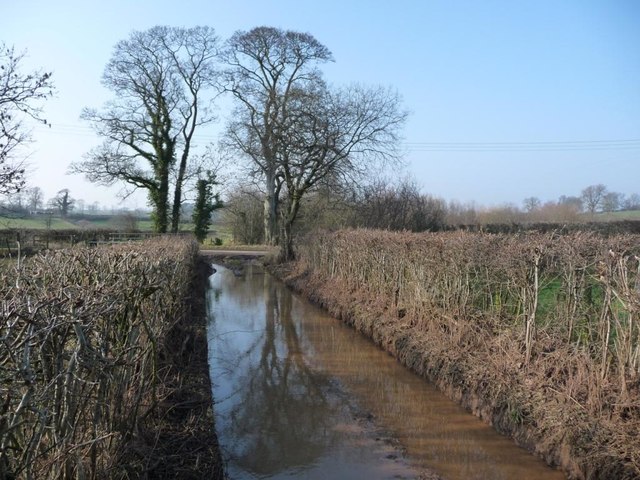
Image: © Christine Johnstone Taken: 14 Feb 2017
Not a very long section of flooding, but deep. Tiptoe alongside the hedge to avoid wet feet!
Images are licensed for reuse under creativecommons.org/licenses/by-sa/2.0
Image Location
Latitude
54.572375
Longitude
-2.581882