Left for Orton, right for Penrith
Introduction
The photograph on this page of Left for Orton, right for Penrith by Christine Johnstone as part of the Geograph project.
The Geograph project started in 2005 with the aim of publishing, organising and preserving representative images for every square kilometre of Great Britain, Ireland and the Isle of Man.

There are currently over 7.5m images from over 14,400 individuals and you can help contribute to the project by visiting https://www.geograph.org.uk
Left for Orton, right for Penrith
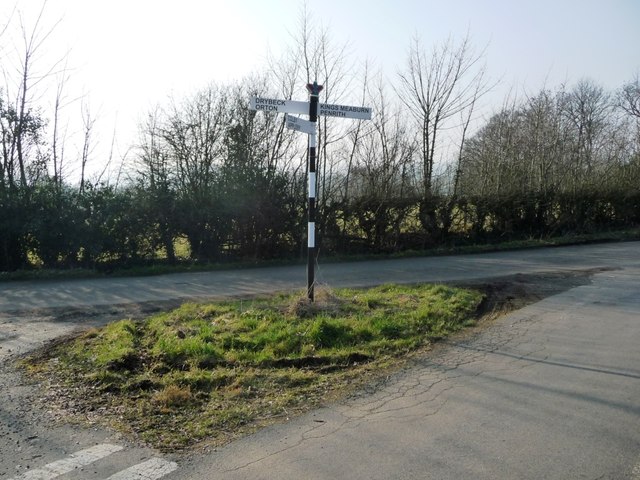
Image: © Christine Johnstone Taken: 14 Feb 2017
Crowned signpost at the west end of the Chitty Hill road. At an air survey spot height of 181 metres.
Images are licensed for reuse under creativecommons.org/licenses/by-sa/2.0
Image Location
Latitude
54.571262
Longitude
-2.57042