Meeting of bridleways near Low Moorsley
Introduction
The photograph on this page of Meeting of bridleways near Low Moorsley by Trevor Littlewood as part of the Geograph project.
The Geograph project started in 2005 with the aim of publishing, organising and preserving representative images for every square kilometre of Great Britain, Ireland and the Isle of Man.

There are currently over 7.5m images from over 14,400 individuals and you can help contribute to the project by visiting https://www.geograph.org.uk
Meeting of bridleways near Low Moorsley
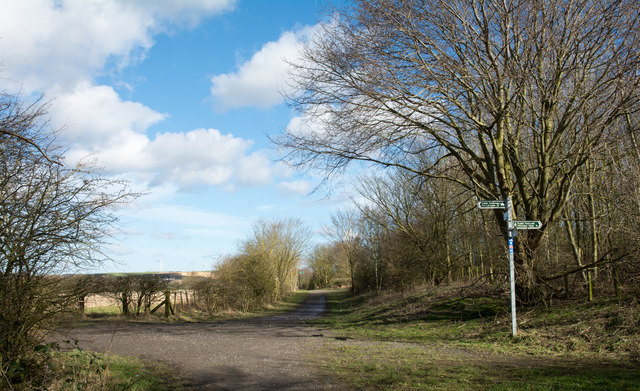
Image: © Trevor Littlewood Taken: 2 Mar 2017
The bridleway ahead is part of the national cycleway, the W2W, Walney to Wear route. To the left there's another bridleway, a rough road, going to East Rainton. The route to the right is a public footpath to Low Moorsley.
Images are licensed for reuse under creativecommons.org/licenses/by-sa/2.0
Image Location


Leaflet Map data © OpenStreetMap
Latitude
54.813642
Longitude
-1.470453