Wallisdown: footpath N01 from Priestley Road
Introduction
The photograph on this page of Wallisdown: footpath N01 from Priestley Road by Chris Downer as part of the Geograph project.
The Geograph project started in 2005 with the aim of publishing, organising and preserving representative images for every square kilometre of Great Britain, Ireland and the Isle of Man.

There are currently over 7.5m images from over 14,400 individuals and you can help contribute to the project by visiting https://www.geograph.org.uk
Wallisdown: footpath N01 from Priestley Road
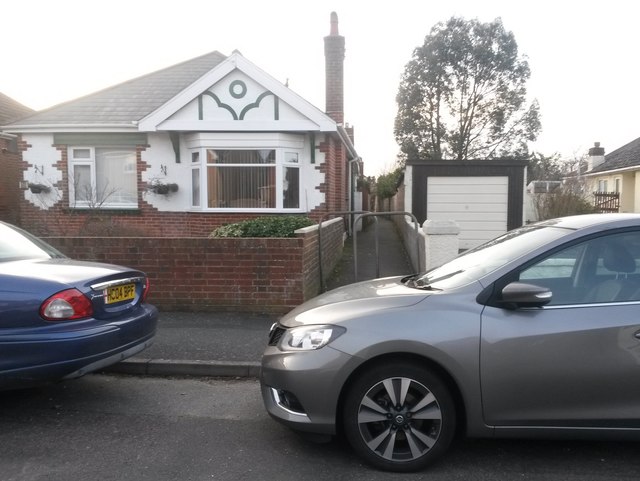
Image: © Chris Downer Taken: 2 Mar 2017
This public footpath, leading to the dead end of Acton Road, heads off rather inconspicuously between a bungalow and its neighbour's garage in Priestley Road. See Image for the view towards us from along the path, with links to further photos along the route.
Images are licensed for reuse under creativecommons.org/licenses/by-sa/2.0
Image Location
Latitude
50.749702
Longitude
-1.903986