Housing on Cartmell Drive
Introduction
The photograph on this page of Housing on Cartmell Drive by Stephen Craven as part of the Geograph project.
The Geograph project started in 2005 with the aim of publishing, organising and preserving representative images for every square kilometre of Great Britain, Ireland and the Isle of Man.

There are currently over 7.5m images from over 14,400 individuals and you can help contribute to the project by visiting https://www.geograph.org.uk
Housing on Cartmell Drive
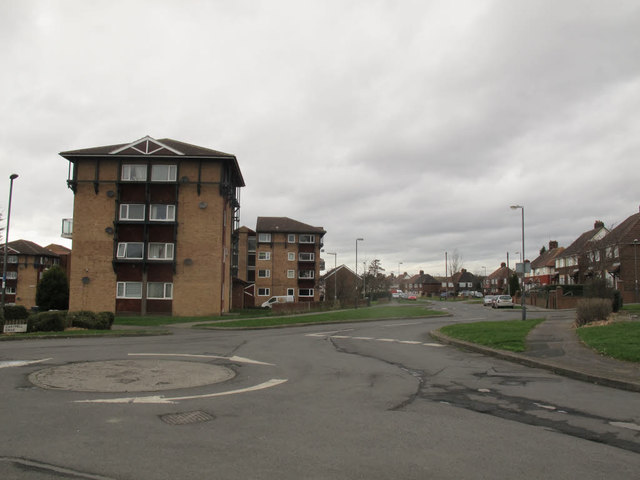
Image: © Stephen Craven Taken: 26 Feb 2017
The housing to the right (east) of the road is part of the original development of the Halton Moor estate, the roads of which all have Cumbrian placenames; the taller blocks to the left appear to be more recent.
Images are licensed for reuse under creativecommons.org/licenses/by-sa/2.0
Image Location
Latitude
53.789323
Longitude
-1.483128