New housing at Roundswell
Introduction
The photograph on this page of New housing at Roundswell by Derek Harper as part of the Geograph project.
The Geograph project started in 2005 with the aim of publishing, organising and preserving representative images for every square kilometre of Great Britain, Ireland and the Isle of Man.

There are currently over 7.5m images from over 14,400 individuals and you can help contribute to the project by visiting https://www.geograph.org.uk
New housing at Roundswell
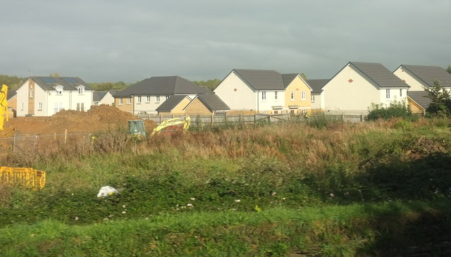
Image: © Derek Harper Taken: 27 Sep 2016
On Kensington Close and seen from the A3125 just north of the Roundswell roundabout. Looks like more may be about to go up on the left.
Images are licensed for reuse under creativecommons.org/licenses/by-sa/2.0
Image Location
Latitude
51.063385
Longitude
-4.081214