Open space between Dewsbury Road and Cardinal Road
Introduction
The photograph on this page of Open space between Dewsbury Road and Cardinal Road by Stephen Craven as part of the Geograph project.
The Geograph project started in 2005 with the aim of publishing, organising and preserving representative images for every square kilometre of Great Britain, Ireland and the Isle of Man.

There are currently over 7.5m images from over 14,400 individuals and you can help contribute to the project by visiting https://www.geograph.org.uk
Open space between Dewsbury Road and Cardinal Road
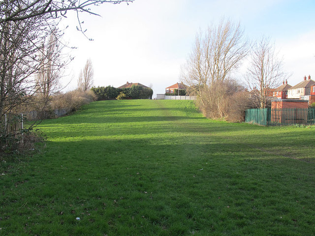
Image: © Stephen Craven Taken: 2 Mar 2017
When the Cardinal estate was developed (Circa 1930s) this was left as open space, running all the way between the main road and Cardinal Road, although a later small development called Waincliffe Terrace has taken over the north end of it.
Images are licensed for reuse under creativecommons.org/licenses/by-sa/2.0
Image Location
Latitude
53.764125
Longitude
-1.565961