Vacant plot on the west side of New Hey Road, Rastrick
Introduction
The photograph on this page of Vacant plot on the west side of New Hey Road, Rastrick by Humphrey Bolton as part of the Geograph project.
The Geograph project started in 2005 with the aim of publishing, organising and preserving representative images for every square kilometre of Great Britain, Ireland and the Isle of Man.

There are currently over 7.5m images from over 14,400 individuals and you can help contribute to the project by visiting https://www.geograph.org.uk
Vacant plot on the west side of New Hey Road, Rastrick
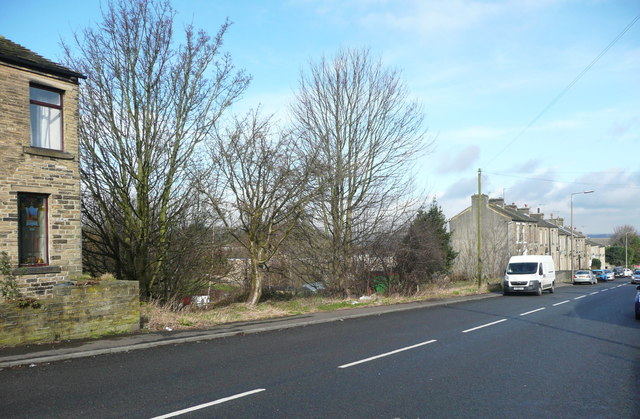
Image: © Humphrey Bolton Taken: 28 Feb 2017
I don't know what is wrong with this plot, that it has remained undeveloped and derelict. The 1824 and 1850 maps suggest that there were buildings on the lower end of it, and the 1893 map shows several small cottages that were still shown on the 1963 map but not on the 1978 edition and were probably demolished as part of slum clearance.
Images are licensed for reuse under creativecommons.org/licenses/by-sa/2.0
Image Location
Latitude
53.683401
Longitude
-1.799956