Bilingual public footpath sign in North Cornelly
Introduction
The photograph on this page of Bilingual public footpath sign in North Cornelly by Jaggery as part of the Geograph project.
The Geograph project started in 2005 with the aim of publishing, organising and preserving representative images for every square kilometre of Great Britain, Ireland and the Isle of Man.

There are currently over 7.5m images from over 14,400 individuals and you can help contribute to the project by visiting https://www.geograph.org.uk
Bilingual public footpath sign in North Cornelly
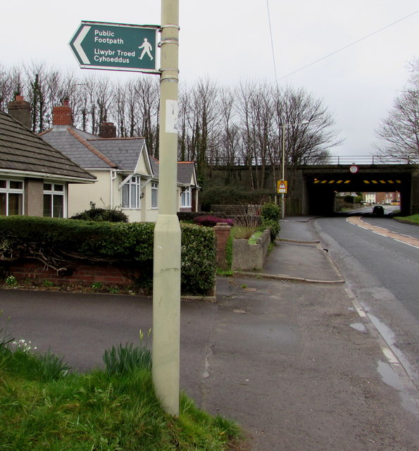
Image: © Jaggery Taken: 1 Mar 2017
At the edge of Porthcawl Road, the English/Welsh sign points towards this http://www.geograph.org.uk/photo/5299070 public footpath. An M4 motorway bridge http://www.geograph.org.uk/photo/5298944 is in the background.
Images are licensed for reuse under creativecommons.org/licenses/by-sa/2.0
Image Location
Latitude
51.51642
Longitude
-3.704725