Footway and 'grass triangle', Clough Lane / New Hey Road, Rastrick
Introduction
The photograph on this page of Footway and 'grass triangle', Clough Lane / New Hey Road, Rastrick by Humphrey Bolton as part of the Geograph project.
The Geograph project started in 2005 with the aim of publishing, organising and preserving representative images for every square kilometre of Great Britain, Ireland and the Isle of Man.

There are currently over 7.5m images from over 14,400 individuals and you can help contribute to the project by visiting https://www.geograph.org.uk
Footway and 'grass triangle', Clough Lane / New Hey Road, Rastrick
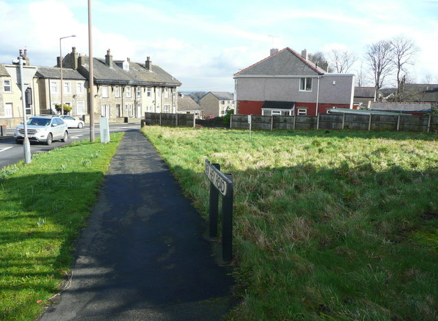
Image: © Humphrey Bolton Taken: 28 Feb 2017
Land was taken from 'Common Close' between 1918 and 1933 to make left turns from Clough lane to New Hey Road easier. Later houses were built on the field facing the two roads, but the corner was left undeveloped.
Images are licensed for reuse under creativecommons.org/licenses/by-sa/2.0
Image Location
Latitude
53.682234
Longitude
-1.80087