The New Line, Ballymagliff, Comber/Dundonald (March 2017)
Introduction
The photograph on this page of The New Line, Ballymagliff, Comber/Dundonald (March 2017) by Albert Bridge as part of the Geograph project.
The Geograph project started in 2005 with the aim of publishing, organising and preserving representative images for every square kilometre of Great Britain, Ireland and the Isle of Man.

There are currently over 7.5m images from over 14,400 individuals and you can help contribute to the project by visiting https://www.geograph.org.uk
The New Line, Ballymagliff, Comber/Dundonald (March 2017)
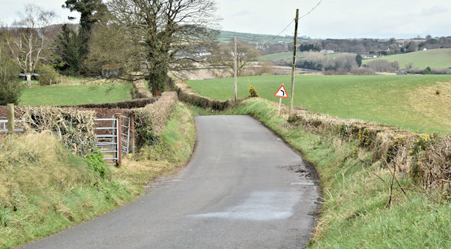
Image: © Albert Bridge Taken: 2 Mar 2017
A minor road running from the Hillhead Road Image (behind me to the right) to the suburban Comber Road at Dundonald. This sign Image is in the middle.
Images are licensed for reuse under creativecommons.org/licenses/by-sa/2.0
Image Location
Latitude
54.571983
Longitude
-5.797738