Construction of Mill Fields
Introduction
The photograph on this page of Construction of Mill Fields by Lairich Rig as part of the Geograph project.
The Geograph project started in 2005 with the aim of publishing, organising and preserving representative images for every square kilometre of Great Britain, Ireland and the Isle of Man.

There are currently over 7.5m images from over 14,400 individuals and you can help contribute to the project by visiting https://www.geograph.org.uk
Construction of Mill Fields
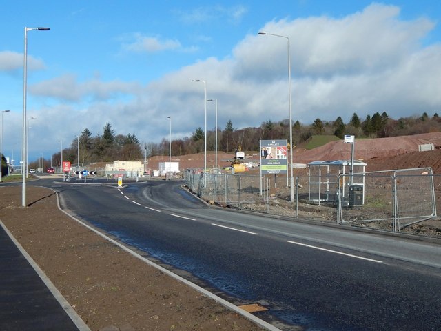
Image: © Lairich Rig Taken: 20 Feb 2017
Stirling Road is in the foreground. The junction that can be seen ahead, on the left, was present before construction work began, but the roundabout is new.
Images are licensed for reuse under creativecommons.org/licenses/by-sa/2.0
Image Location
Latitude
55.972198
Longitude
-4.566048