Manteo Way, East-The-Water
Introduction
The photograph on this page of Manteo Way, East-The-Water by Derek Harper as part of the Geograph project.
The Geograph project started in 2005 with the aim of publishing, organising and preserving representative images for every square kilometre of Great Britain, Ireland and the Isle of Man.

There are currently over 7.5m images from over 14,400 individuals and you can help contribute to the project by visiting https://www.geograph.org.uk
Manteo Way, East-The-Water
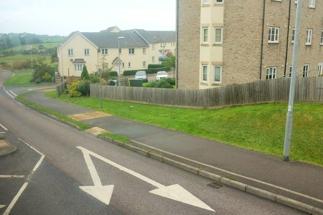
Image: © Derek Harper Taken: 27 Sep 2016
One of the main estate roads dropping to the Horwood Stream valley, a tributary of the Torridge. Apologies for some reflections in the bus window.
Images are licensed for reuse under creativecommons.org/licenses/by-sa/2.0
Image Location
Latitude
51.018743
Longitude
-4.191286