Old houses in Lower Mwldan
Introduction
The photograph on this page of Old houses in Lower Mwldan by Natasha Ceridwen de Chroustchoff as part of the Geograph project.
The Geograph project started in 2005 with the aim of publishing, organising and preserving representative images for every square kilometre of Great Britain, Ireland and the Isle of Man.

There are currently over 7.5m images from over 14,400 individuals and you can help contribute to the project by visiting https://www.geograph.org.uk
Old houses in Lower Mwldan
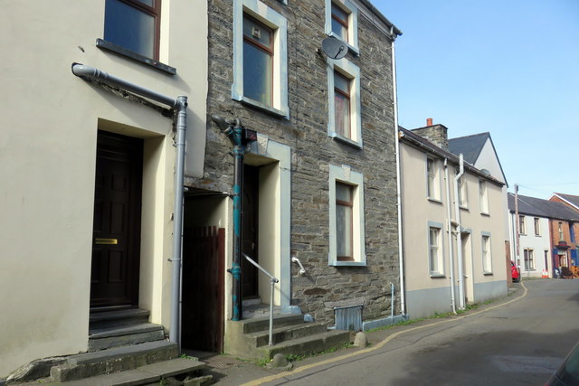
Image: © Natasha Ceridwen de Chroustchoff Taken: 24 Feb 2017
This is a low-lying area of the town that still floods at times of heavy rainfall, the water backing up from the Teifi river estuary via the Mwldan stream which lies behind these buildings. The dampness made housing conditions unsalubrious and accordingly this was a poverty-stricken area; even now it looks run down although some modernisation has taken place. In this view the street leads towards its junction with Market Lane.
Images are licensed for reuse under creativecommons.org/licenses/by-sa/2.0
Image Location


Leaflet Map data © OpenStreetMap
Latitude
52.082418
Longitude
-4.662811