Footpath at the end of Hurst Road
Introduction
The photograph on this page of Footpath at the end of Hurst Road by David Lally as part of the Geograph project.
The Geograph project started in 2005 with the aim of publishing, organising and preserving representative images for every square kilometre of Great Britain, Ireland and the Isle of Man.

There are currently over 7.5m images from over 14,400 individuals and you can help contribute to the project by visiting https://www.geograph.org.uk
Footpath at the end of Hurst Road
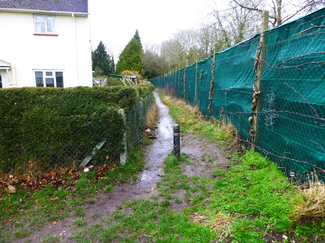
Image: © David Lally Taken: 27 Feb 2017
This is shown on the OS map as a Way-Marked trail - "The Avon Valley Path" one can be within 10 feet of this on Hurst Road and not see it!
Images are licensed for reuse under creativecommons.org/licenses/by-sa/2.0
Image Location
Latitude
50.855924
Longitude
-1.784147