Green Lane near Pollamounter
Introduction
The photograph on this page of Green Lane near Pollamounter by Rob Farrow as part of the Geograph project.
The Geograph project started in 2005 with the aim of publishing, organising and preserving representative images for every square kilometre of Great Britain, Ireland and the Isle of Man.

There are currently over 7.5m images from over 14,400 individuals and you can help contribute to the project by visiting https://www.geograph.org.uk
Green Lane near Pollamounter
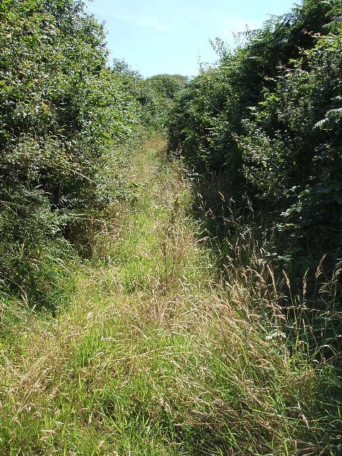
Image: © Rob Farrow Taken: 9 Aug 2007
This overgrown track heads off southeastwards from a bend in the lane between Degembris Major & Minor and Pollamounter, being slightly closer to the latter. This track peters out after a few yards at a field boundary according to the map.
Images are licensed for reuse under creativecommons.org/licenses/by-sa/2.0
Image Location
Latitude
50.367024
Longitude
-5.022053