Quantocks from the air
Introduction
The photograph on this page of Quantocks from the air by Derek Harper as part of the Geograph project.
The Geograph project started in 2005 with the aim of publishing, organising and preserving representative images for every square kilometre of Great Britain, Ireland and the Isle of Man.

There are currently over 7.5m images from over 14,400 individuals and you can help contribute to the project by visiting https://www.geograph.org.uk
Quantocks from the air
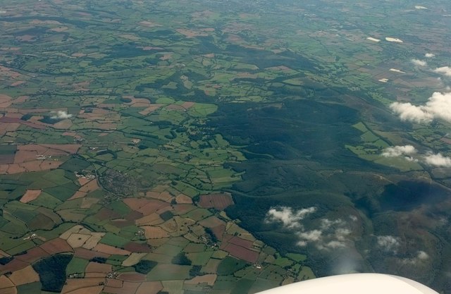
Image: © Derek Harper Taken: 30 Aug 2016
Great Wood covers several square miles of the Quantocks. Near at hand is the curving scar of Bin Combe / Holford Combe crossing it. Central here is the irregular edge of the forest near the hamlet of Friarn.
Images are licensed for reuse under creativecommons.org/licenses/by-sa/2.0
Image Location


Leaflet Map data © OpenStreetMap
Latitude
51.139831
Longitude
-3.177774