Approaching Aberford from the North
Introduction
The photograph on this page of Approaching Aberford from the North by Chris Heaton as part of the Geograph project.
The Geograph project started in 2005 with the aim of publishing, organising and preserving representative images for every square kilometre of Great Britain, Ireland and the Isle of Man.

There are currently over 7.5m images from over 14,400 individuals and you can help contribute to the project by visiting https://www.geograph.org.uk
Approaching Aberford from the North
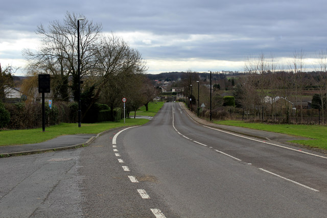
Image: © Chris Heaton Taken: 26 Feb 2017
Main Street heading into Aberford - once the A1 Great North Road. The village has been by-passed for many years now.
Images are licensed for reuse under creativecommons.org/licenses/by-sa/2.0
Image Location


Leaflet Map data © OpenStreetMap
Latitude
53.840137
Longitude
-1.342536