Path junction, Conduit Wood
Introduction
The photograph on this page of Path junction, Conduit Wood by Robin Webster as part of the Geograph project.
The Geograph project started in 2005 with the aim of publishing, organising and preserving representative images for every square kilometre of Great Britain, Ireland and the Isle of Man.

There are currently over 7.5m images from over 14,400 individuals and you can help contribute to the project by visiting https://www.geograph.org.uk
Path junction, Conduit Wood
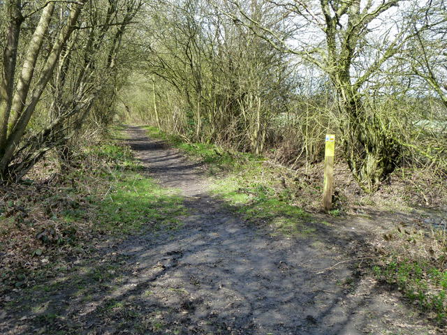
Image: © Robin Webster Taken: 14 Apr 2013
Straight ahead is a bridleway (Called Featherbed Lane on old maps) to near Lambourne church. Crossing is a footpath passing through the wood.
Images are licensed for reuse under creativecommons.org/licenses/by-sa/2.0
Image Location
Latitude
51.640719
Longitude
0.137709