West Howe: looking across Moorside Road towards footpath U38
Introduction
The photograph on this page of West Howe: looking across Moorside Road towards footpath U38 by Chris Downer as part of the Geograph project.
The Geograph project started in 2005 with the aim of publishing, organising and preserving representative images for every square kilometre of Great Britain, Ireland and the Isle of Man.

There are currently over 7.5m images from over 14,400 individuals and you can help contribute to the project by visiting https://www.geograph.org.uk
West Howe: looking across Moorside Road towards footpath U38
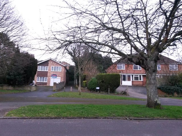
Image: © Chris Downer Taken: 26 Feb 2017
A public footpath comes out just ahead of us, between two houses, from Kinson Road, and is named Bluebird Walk - a recent safety initiative within the Borough saw many alleys and paths named, the idea being that if seeking help, one's location can more easily be given. See Image for a closer view up the path, with links to further photos on the route.
Images are licensed for reuse under creativecommons.org/licenses/by-sa/2.0
Image Location
Latitude
50.757794
Longitude
-1.902268