Queen?s Park: byway K44 reaches Strouden Open Space
Introduction
The photograph on this page of Queen?s Park: byway K44 reaches Strouden Open Space by Chris Downer as part of the Geograph project.
The Geograph project started in 2005 with the aim of publishing, organising and preserving representative images for every square kilometre of Great Britain, Ireland and the Isle of Man.

There are currently over 7.5m images from over 14,400 individuals and you can help contribute to the project by visiting https://www.geograph.org.uk
Queen?s Park: byway K44 reaches Strouden Open Space
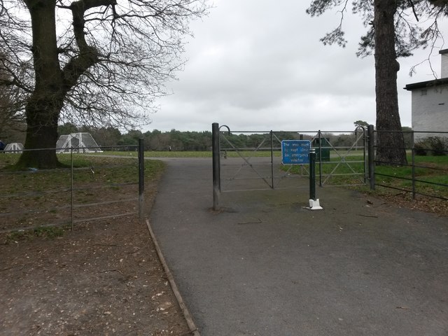
Image: © Chris Downer Taken: 25 Feb 2017
The final stretch of Howard Road is designated as a byway open to all traffic (or B.O.A.T.), and leads from Strouden Avenue to the recreation ground just in front of us - the gate therefore marks the end of the public right of way, although a footpath continues along the left-hand edge of the public open space to Mallard Road. See Image for a view behind us down Howard Road.
Images are licensed for reuse under creativecommons.org/licenses/by-sa/2.0
Image Location
Latitude
50.744435
Longitude
-1.854107