Charminster: footpath K01 reaches Ashling Crescent
Introduction
The photograph on this page of Charminster: footpath K01 reaches Ashling Crescent by Chris Downer as part of the Geograph project.
The Geograph project started in 2005 with the aim of publishing, organising and preserving representative images for every square kilometre of Great Britain, Ireland and the Isle of Man.

There are currently over 7.5m images from over 14,400 individuals and you can help contribute to the project by visiting https://www.geograph.org.uk
Charminster: footpath K01 reaches Ashling Crescent
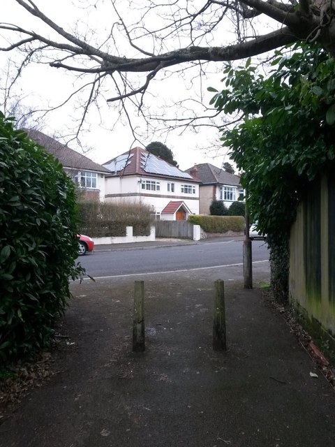
Image: © Chris Downer Taken: 25 Feb 2017
This public footpath from Charminster Road has headed quite steeply uphill but flattens out for these last few yards as it reaches its destination. See Image for the view towards us from ahead, and Image for the next view behind us, with links to further photos on the path.
Images are licensed for reuse under creativecommons.org/licenses/by-sa/2.0
Image Location


Leaflet Map data © OpenStreetMap
Latitude
50.744622
Longitude
-1.860201