A44 approaching roundabout near Wyre Piddle
Introduction
The photograph on this page of A44 approaching roundabout near Wyre Piddle by J.Hannan-Briggs as part of the Geograph project.
The Geograph project started in 2005 with the aim of publishing, organising and preserving representative images for every square kilometre of Great Britain, Ireland and the Isle of Man.

There are currently over 7.5m images from over 14,400 individuals and you can help contribute to the project by visiting https://www.geograph.org.uk
A44 approaching roundabout near Wyre Piddle
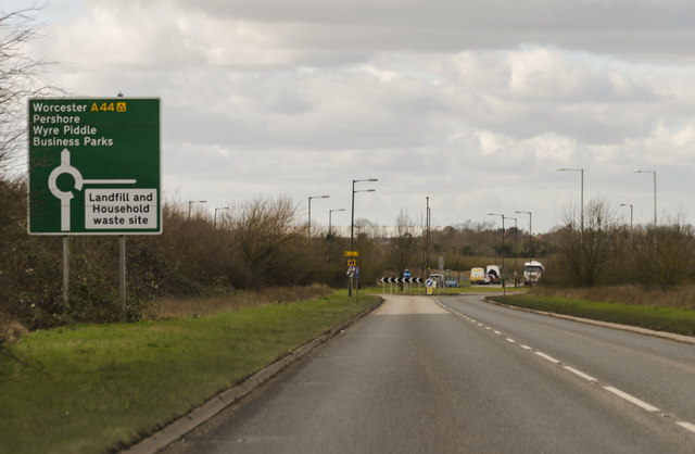
Image: © J.Hannan-Briggs Taken: 24 Feb 2017
The Wyre Piddle bypass was finished in 2002. The unusual name is from the Celtic 'gweyr' for 'winding' plus the Old English 'pidele' meaning marsh or fen.
Images are licensed for reuse under creativecommons.org/licenses/by-sa/2.0
Image Location
Latitude
52.128409
Longitude
-2.044509