Northwest and downhill on Wellington Street, Luton
Introduction
The photograph on this page of Northwest and downhill on Wellington Street, Luton by Robin Stott as part of the Geograph project.
The Geograph project started in 2005 with the aim of publishing, organising and preserving representative images for every square kilometre of Great Britain, Ireland and the Isle of Man.

There are currently over 7.5m images from over 14,400 individuals and you can help contribute to the project by visiting https://www.geograph.org.uk
Northwest and downhill on Wellington Street, Luton
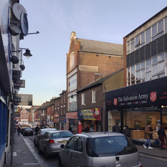
Image: © Robin Stott Taken: 24 Feb 2017
In a street of restaurants and fast food outlets, this four-storey building stands out. The datestone on the gable says 1906. While it might have been a hatmaker's (hatmaking was a major industry in Luton) it looks more like a former furniture showroom. It is seen square-on in Burgess von Thunen's Image from 2013. In this photo, note the large Salvation Army charity shop on the right.
Images are licensed for reuse under creativecommons.org/licenses/by-sa/2.0
Image Location
Latitude
51.878819
Longitude
-0.418361