Pokesdown: down the steps on footpath J09
Introduction
The photograph on this page of Pokesdown: down the steps on footpath J09 by Chris Downer as part of the Geograph project.
The Geograph project started in 2005 with the aim of publishing, organising and preserving representative images for every square kilometre of Great Britain, Ireland and the Isle of Man.

There are currently over 7.5m images from over 14,400 individuals and you can help contribute to the project by visiting https://www.geograph.org.uk
Pokesdown: down the steps on footpath J09
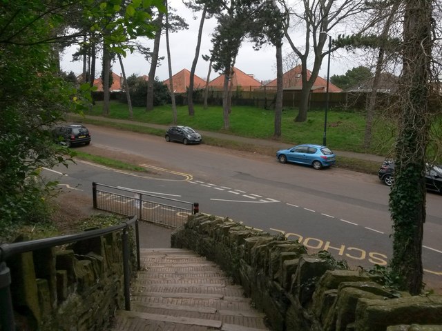
Image: © Chris Downer Taken: 25 Feb 2017
The driveway and churchyard path of the parish church of St. James the Greater form public footpath J09, cutting off the corner from King's Park to the main Christchurch Road. Here, we look down from the churchyard gate onto the final bit of path, leading down to King's Park Drive and the odd side turn of Spurgeon Road. (The zig-zag 'School Keep Clear' markings are there because the school is situated in the same grounds as the church, and this is a route used by pupils.) See Image for the view up the steps from the grass ahead, and Image for the next view on the path behind us, with links to further photos along the route.
Images are licensed for reuse under creativecommons.org/licenses/by-sa/2.0
Image Location
Latitude
50.733059
Longitude
-1.821552