Quarried pasture land, Sewstern
Introduction
The photograph on this page of Quarried pasture land, Sewstern by Michael Trolove as part of the Geograph project.
The Geograph project started in 2005 with the aim of publishing, organising and preserving representative images for every square kilometre of Great Britain, Ireland and the Isle of Man.

There are currently over 7.5m images from over 14,400 individuals and you can help contribute to the project by visiting https://www.geograph.org.uk
Quarried pasture land, Sewstern
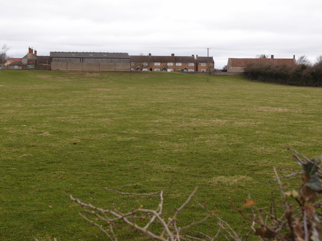
Image: © Michael Trolove Taken: 26 Feb 2017
Buckminster Ironstone quarry no 8, active (approx) between 1937 and 1948. The quarry workings were allowed quite close to the village. Although this is a modern farm building it might have replaced another that determined the edge of the quarry working. Reference - E Tonks, The Ironstone Quarries of the Midlands, Part 8, South Lincolnshire.
Images are licensed for reuse under creativecommons.org/licenses/by-sa/2.0
Image Location
Latitude
52.786166
Longitude
-0.680747