Pokesdown: footpath J05 heads for Rebbeck Road
Introduction
The photograph on this page of Pokesdown: footpath J05 heads for Rebbeck Road by Chris Downer as part of the Geograph project.
The Geograph project started in 2005 with the aim of publishing, organising and preserving representative images for every square kilometre of Great Britain, Ireland and the Isle of Man.

There are currently over 7.5m images from over 14,400 individuals and you can help contribute to the project by visiting https://www.geograph.org.uk
Pokesdown: footpath J05 heads for Rebbeck Road
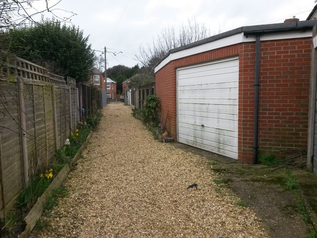
Image: © Chris Downer Taken: 25 Feb 2017
This public footpath is one of four rear accesses to premises in Clarence Park Road - two on this evens side and two on the odds side. See Image for the next view on the path ahead, and Image for the next view behind us - each with links to further photos along the route.
Images are licensed for reuse under creativecommons.org/licenses/by-sa/2.0
Image Location
Latitude
50.732796
Longitude
-1.825804