Boscombe East: the Warwick Place sign
Introduction
The photograph on this page of Boscombe East: the Warwick Place sign by Chris Downer as part of the Geograph project.
The Geograph project started in 2005 with the aim of publishing, organising and preserving representative images for every square kilometre of Great Britain, Ireland and the Isle of Man.

There are currently over 7.5m images from over 14,400 individuals and you can help contribute to the project by visiting https://www.geograph.org.uk
Boscombe East: the Warwick Place sign
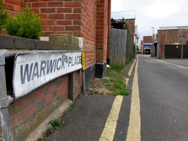
Image: © Chris Downer Taken: 25 Feb 2017
Warwick Place is a rear access driveway for even numbered shops 834-892 Christchurch Road (to our right) and the flats above. It also forms a public right of way, footpath G06 between Warwick and Hannington Roads. Here we view it from its western end, on Warwick Road. See Image for the next view on the lane, with links to further photos along the route.
Images are licensed for reuse under creativecommons.org/licenses/by-sa/2.0
Image Location
Latitude
50.729653
Longitude
-1.829075