Watling Street (A5)
Introduction
The photograph on this page of Watling Street (A5) by JThomas as part of the Geograph project.
The Geograph project started in 2005 with the aim of publishing, organising and preserving representative images for every square kilometre of Great Britain, Ireland and the Isle of Man.

There are currently over 7.5m images from over 14,400 individuals and you can help contribute to the project by visiting https://www.geograph.org.uk
Watling Street (A5)
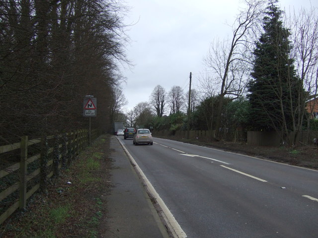
Image: © JThomas Taken: 25 Feb 2017
Looking north west near the Hinckley Knight, Flaming Grill public house.
Images are licensed for reuse under creativecommons.org/licenses/by-sa/2.0
Image Location
Latitude
52.51799
Longitude
-1.368924