Great Western Terrace lane
Introduction
The photograph on this page of Great Western Terrace lane by Sandy Gemmill as part of the Geograph project.
The Geograph project started in 2005 with the aim of publishing, organising and preserving representative images for every square kilometre of Great Britain, Ireland and the Isle of Man.

There are currently over 7.5m images from over 14,400 individuals and you can help contribute to the project by visiting https://www.geograph.org.uk
Great Western Terrace lane
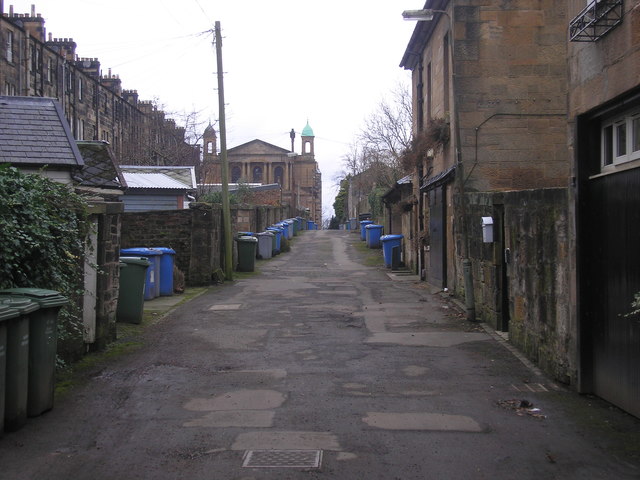
Image: © Sandy Gemmill Taken: 21 Feb 2017
The lane between the backs of the houses on Great Western Terrace (on the right) and Westbourne Gardens (on the left). In the distance (at the end of the lane) the former Belhaven Westbourne Parish Church (Church of Scotland) can be seen (now an independent church).
Images are licensed for reuse under creativecommons.org/licenses/by-sa/2.0
Image Location
Latitude
55.880843
Longitude
-4.300615