Road Over Disused Railway near South Hiendley
Introduction
The photograph on this page of Road Over Disused Railway near South Hiendley by Jonathan Clitheroe as part of the Geograph project.
The Geograph project started in 2005 with the aim of publishing, organising and preserving representative images for every square kilometre of Great Britain, Ireland and the Isle of Man.

There are currently over 7.5m images from over 14,400 individuals and you can help contribute to the project by visiting https://www.geograph.org.uk
Road Over Disused Railway near South Hiendley
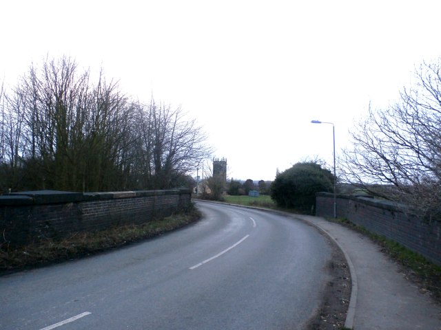
Image: © Jonathan Clitheroe Taken: 24 Feb 2017
The Church of St Peter in Felkirk can also be seen here.
Images are licensed for reuse under creativecommons.org/licenses/by-sa/2.0
Image Location
Latitude
53.608795
Longitude
-1.414902